What Generations of Himalayan Trekking Have Taught Travellers
Reference library · 1099 words
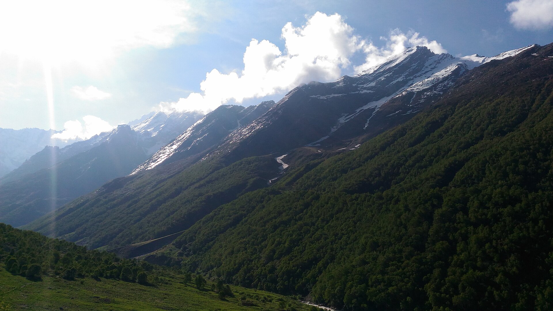

Walking in the Himalaya is not a modern invention, and almost every trail now sold as a trek was first a working route. Pilgrims went to Kailash, Kedarnath, Amarnath and Hemkund. Traders crossed passes such as Shipki La, Nathu La and Lipulekh, carrying salt, borax, wool and grain between the Tibetan plateau and the Indian plains, a trade that supported Bhotiya and Ladakhi communities for centuries before the closure of the border in the 1960s ended it. Shepherds moved flocks over Hampta, Pin Parvati and dozens of unnamed cols. In the 1860s and 1870s the Survey of India sent the men known as the pundit explorers, among them Nain Singh Rawat and Kishen Singh, across the frontier disguised as pilgrims, measuring distance by counting a fixed pace on a modified rosary and hiding notes in a prayer wheel. The map that later trekkers rely on was made by people walking these routes with something else on their minds.
Organised mountaineering built on that base. The Himalayan Club was founded in 1928. After the 1953 ascent of Everest, the Himalayan Mountaineering Institute was established at Darjeeling in 1954, with Tenzing Norgay as its director of field training. The Indian Mountaineering Foundation followed in 1958, and the Nehru Institute of Mountaineering opened at Uttarkashi in 1965. These institutions still set the framework for permits, peak fees and basic certification, and they are why Indian trekking has a formal structure at all.
What the Body Learns First
The single most consistent lesson is about altitude, and it is repeatedly ignored. Acute mountain sickness appears above roughly 2,500 metres and is common above 3,500. Headache, nausea, poor sleep and loss of appetite are the early signs. The dangerous progressions are high altitude cerebral oedema, which shows as confusion and loss of balance, and high altitude pulmonary oedema, which shows as breathlessness at rest and a wet cough. The treatment for both is descent, immediately and without negotiation, and no drug substitutes for it. Acetazolamide assists acclimatisation but does not license a faster ascent. The classic error on Indian routes is mechanised: the Manali to Leh road crosses passes above five thousand metres and delivers a traveller to a 3,500 metre town within a day or two, giving the body no time at all. Guides have long said to climb high and sleep low, to add a rest day for every thousand metres above three thousand, and to treat any symptom as real. It remains good advice, proven repeatedly by those who disregard it.
The second lesson is about water and time of day. Glacier fed streams are lowest in the early morning and rise through the afternoon as melt increases, so crossings are made early. Weather in the high Himalaya deteriorates in the afternoon with predictable regularity, which is why passes are crossed before midday and camps are made before the cloud builds.
Reading the Seasons and the Rain Shadow
The usable windows are narrow and regionally specific. In Uttarakhand, Himachal Pradesh and Sikkim the pre monsoon season runs from about April to mid June and the post monsoon from mid September to early November. July and August bring the monsoon, with landslides, leeches, blocked roads and negligible views. The exception is the great trans Himalayan rain shadow: Ladakh, Zanskar, Spiti and Lahaul lie behind the main range and receive very little monsoon rain, so their season is precisely the months when the outer ranges are unwalkable. That single piece of geography determines the entire Indian trekking calendar.
The named routes each teach something. The Valley of Flowers in Uttarakhand, brought to wider attention by the British climber Frank Smythe after he came upon it in 1931 following the Kamet expedition, is a World Heritage site and is at its best in the monsoon, an inversion of the usual rule. Roopkund, the shallow lake surrounded by human skeletal remains, was long explained by a single catastrophic hailstorm; genetic work published in 2019 established that the remains belong to several groups separated by centuries, including individuals whose ancestry points to the eastern Mediterranean, which dismantled the tidy story. Access to Roopkund has since been restricted on conservation and heritage grounds. The Kuari Pass, walked by Lord Curzon and known as the Curzon Trail, gives one of the finest close views of Nanda Devi. Sandakphu on the Singalila ridge in West Bengal offers Kangchenjunga and, on a clear day, the Everest group. Goechala in Sikkim approaches Kangchenjunga from the west. The Chadar route on the frozen Zanskar river was a winter trading and travelling necessity for Zanskaris long before it became a commercial trek, and warming winters have made the ice less reliable and the trip less defensible.
Crowds, Waste and a Changing Mountain
The hardest lessons are recent. Stok Kangri in Ladakh, promoted for years as an accessible six thousand metre peak, was closed to climbing from 2020 after sustained overuse, water depletion at base camp and accumulated waste, at the request of local village bodies. That closure marked a shift: local communities, not distant agencies, are increasingly the ones setting limits. The Kedarnath disaster of June 2013 taught the same lesson from the other direction, showing what happens when accommodation is built into an active floodplain.
Hazard itself has changed. Glacial lake outburst floods have moved from a theoretical risk to a documented pattern, with the Chamoli disaster in Uttarakhand in February 2021 and the outburst of South Lhonak lake in Sikkim in October 2023 both producing catastrophic downstream flooding. Trekkers are advised to know whether their route camps in a narrow valley below a moraine dammed lake, a question that would not have been asked a generation ago.
The remaining lessons are procedural and unglamorous. Carry out everything you carry in, including sanitary waste, and dig catholes well away from water. Respect porter and mule load limits and confirm that staff are insured and equipped, since the people carrying the loads are the ones most exposed on a bad day. Check permits before travelling: Inner Line Permits apply in border districts of Ladakh, Himachal Pradesh, Uttarakhand, Sikkim and the northeastern states, and Protected Area Permits apply to foreign nationals in many of them, with peak fees administered separately. Above all, treat commercial fixed departure trekking with clear eyes. It has made the mountains accessible to people who would never have reached them otherwise, and it has also put large inexperienced groups on fragile routes with guides on thin margins. Whether it has improved safety overall is genuinely disputed among Indian mountaineers, and the answer probably depends entirely on which operator you booked.
References
- Indian Mountaineering FoundationIndian Mountaineering Foundation
- UNESCO World Heritage CentreNanda Devi and Valley of Flowers National Parks
- UNESCO World Heritage CentreGreat Himalayan National Park Conservation Area
- Incredible India, Ministry of TourismLadakh
- Incredible India, Ministry of TourismSikkim
This is a reference article, written from the sources above. It is background, not news reporting.